We are getting closer!
The journey was much different than what I imagined. I thought that we would have decent wind and weather until we got close to the Equator and the Doldrums (area of no wind). Because of some boats getting really stuck with no wind in the Doldrums in the 13-14 race, they made a new rule this year. All boats could motor 60 hours through the Doldrums and thus save the heat issue and the no wind issue.
There was a certain path that you had to take and once you started you had to end up a certain spot and if early you had to hang out there until time for you to exit. I am not sure who comes up with these ideas! However, Mother Nature wanted to be sure that we felt the discomfort of no wind and extreme heat so she decided to hit us with no wind several days before we even got near the Doldrums. UNBELIEVEABLE!!! Especially since as we motored through the Doldrums there was WIND!
My friends on Lake Travis, this was like a no wind day that lasted forever and you couldn’t turn your motor on and run back to the cool shade at AYC. My marching band friends, this was not even a fun day on the asphalt in 104 degree temps and bright sun. This was truly the most miserable hot weather I have ever endured. All of us must have seated off 10 to 15 pounds. Below deck was even worse than above deck (you see we did not have air conditioning on this happy boat)! The cool think was we were barely moving so we got to dump some buckets of water and take “kinda” showers.
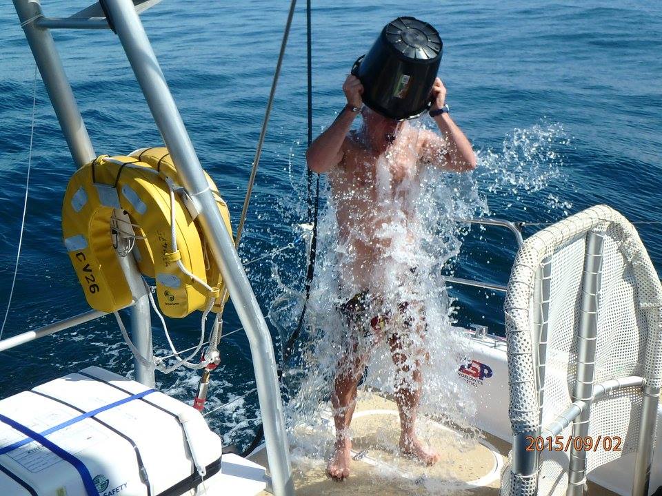
Ryan enjoying the shower. It had the effect of the Ice Bucket Challenge!

Crew shower time!
Then laundry became the thing to do as we waited for wind.
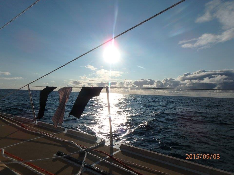
laundry plus just a good shot of nature at its best.
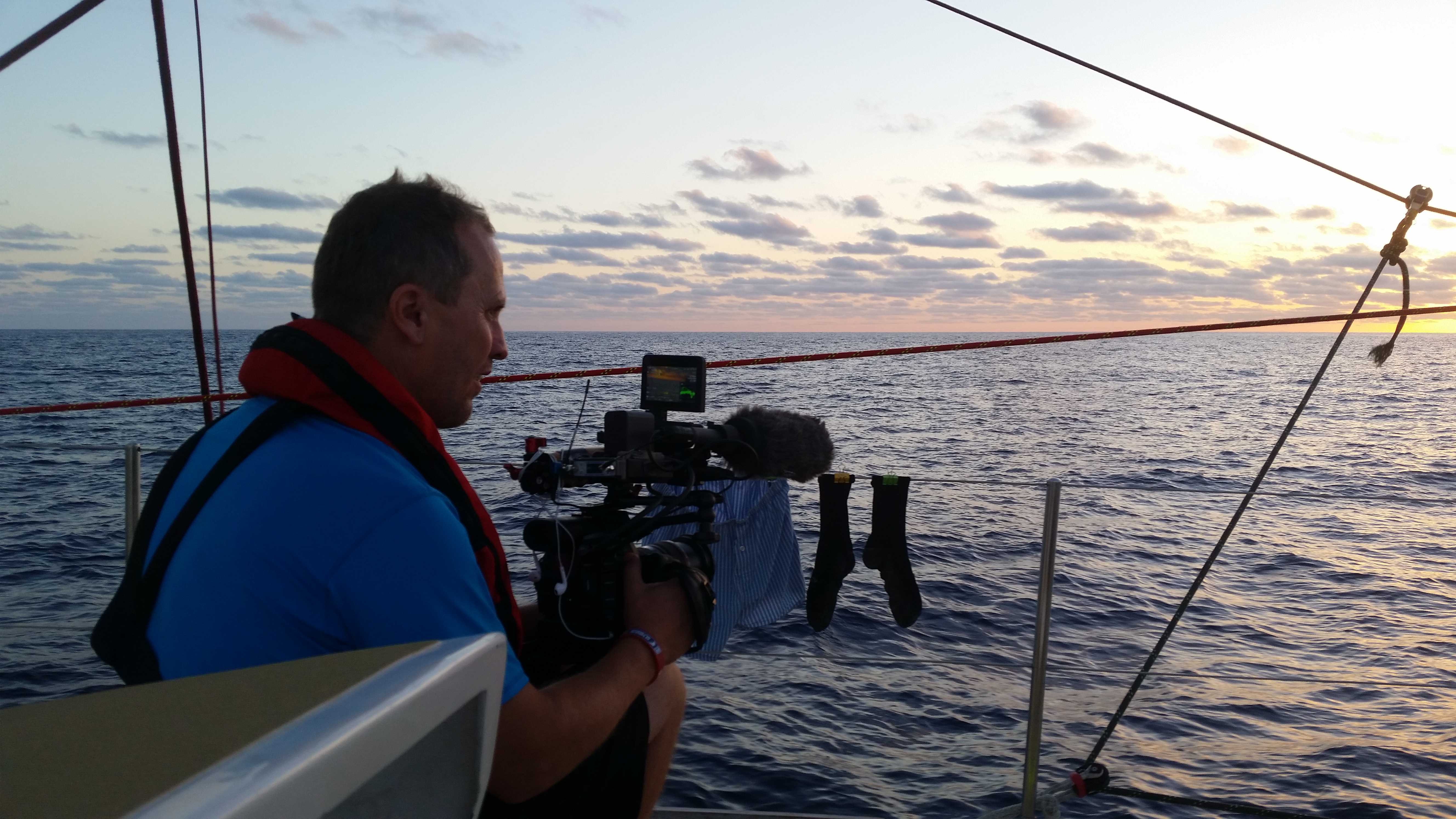
Mark our Canada Discovery Channel man finding socks very important in the documentary that he is working on.

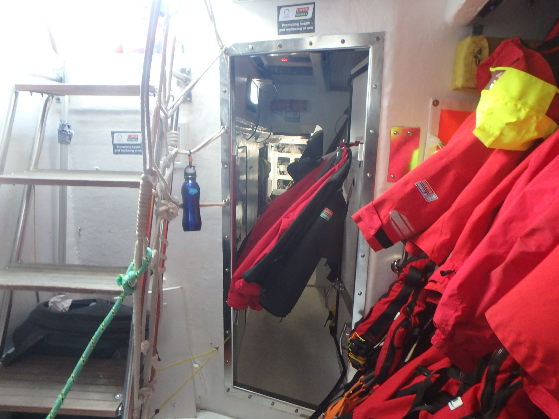
not 3 feet from my bunk and when they worked on it the door was OPEN!!! and this is just art of the view. there is more to it for about 6-8 feet.

check out the waves as we go by. This was fun!
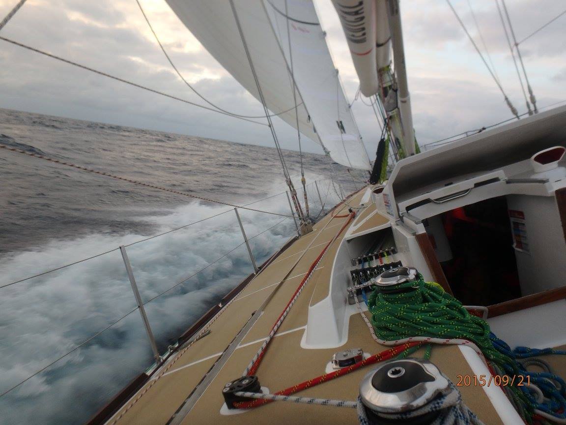
Moving along! so not so bad!
Looks a bit like a small hurricane inside the boat.

They put candy in the bucket for the return to our boat.
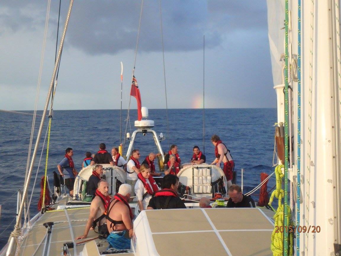
And then there are just some beautiful moments like being with everyone and seeing a rainbow. Life is GOOD

Love hearing about your ups and downs on this wild and FUN adventure! Thanks and blessings, Linda! xo Jana
LikeLike
I love the water And have really enjoyed seeing all the pictures and reading all the stories of your trip!! Keep them coming!!
LikeLike
Cape Town is the best! Hope you had a good time there. Great fun reading your adventure,
LikeLike
I am so sorry to be a kill joy “Special lady”
With regards to your previous comments re Christopher Columbus
but He did NOT use the sextant or the octant, which had not been invented yet. to measure latitude from the equator.
Christopher Columbus used a few of the instruments of his day for navigation.
1. The compass
1.5 The sun-dial compass (using the sun to find North. see big photos on this site: http://www.angelfire.com/my/zelime/sundi…
and small drawing here: http://brunelleschi.imss.fi.it/museum/es…
2. the astrolabe photo here: http://www.humboldt.edu/~rap1/NavInst_Pi…
3. the hour-glass and the 1/2 hour glass
4. the quadrant
5. the chilindre
Sorry to be so pedantic….I am hosting one of the crew from LMAX Exchange
here in Albany. I look forward to meeting you. whilst you are here ??
Albanymariner@westnet.com.au
Captain Robert A. Brown…..
LikeLike
Hello Special lady,
I am sorry to be pedantic but the sextant had not been inveted when
Christopher Columbus set sail.
Columbus did indeed use a compass on his voyages; the compass (lodestone in its earliest incarnation) is arguably the oldest known navigational instrument. The problem is that compasses point to Magnetic North, not True North. Because of this, course errors are induced, and the degree and angle of error will change as position changes.
Columbus’s other big navigation problem was that he relied on a device known as an Astrolabe to determine latitude. Because the Astrolabe measures only the angle of an object (i.e. the Sun), and doesn’t compare it to a fixed reference point (the horizon), errors creep in there also.
I am hosting one of the crew members on LMAX EXCHANGE..
here in Albany..I look forward to meeting you then? Maybe a home cooked meal? Captain Robert A Brown
Cunard,(Port Line ) Federal line, New Zealand. shipping company..(Retired)
LikeLike